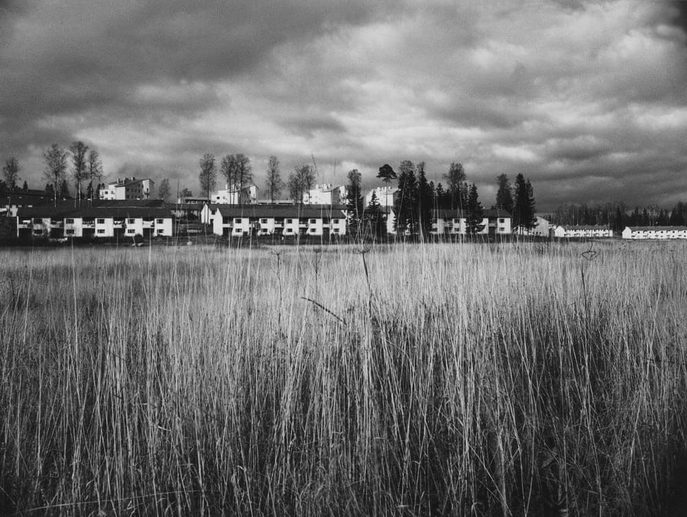
The fields in the area were originally created in the traditional manner on peat-based land due to its moisture and lack of rocks. Local names and street names reflect the history of the area, such as Suursuo (“Great Marsh”), Rajametsäntie (“Border Forest Road”), Metsälä (“Forest Town”) and Koivikkotie (“Birch Grove Road”).
Maunula has over 7000 residents, many of whom are senior citizens as there are many homes for the elderly in the area.
Maunula’s name comes from the Månsas tax house. Up until 1940 Maunula was forest land that belonged to the Oulunkylä municipality, with a few villas and small houses that were built in later years. In old maps, the area is mostly covered by forests and a few fields. The western and southwestern parts of Maunula are part of the Vähä Huopalahti village, while the rest is part of the Oulunkylä village. Oulunkylä is mentioned for the first time in historical sources in 1515 and Pakila, Vähä Huopalahti and Kaarela as early as 1417.
When the area became part of Helsinki, the fields were initially used for the city’s horses for grazing and growing hay. As the use of horses declined, the fields were left uncultivated and reverted into meadows. In the 1930s, Maunulanmäki (Kirkkomäki hill) and the nut grove by the ski jump were popular recreational areas among Helsinki residents.
The Maunula recreational hut (Maunulan ulkoilumaja) was once used by a biathlon club, and the targets were positioned along the slope on the Maunula side. The old field in front of the targets was maintained as an open meadow. The biathlon track was closed in the early 1960s, after which the meadow quickly became overgrown and a thick birch grove grew on the slope. Today the recreational hut is maintained by Helsingin Latu – Outdoor Association of Helsinki.
The nature in the area has been influenced as much by the end of farming as by the felling during the war for firewood. In the City of Helsinki’s first forestry plans in the 1950s, the forests in Maunula are described as having been ruined for forestry. The worst affected areas were used for building new homes. Fortunately, the large pine trees and biggest fir trees were not harvested for firewood and can still be seen in the residential areas.
The first town plan for Maunula was approved in 1940 and the second in 1945. The plans were made by the architects Hilding Ekelund (1893–1984), Keijo Petäjä (1919–1988) and Viljo Revell (1910–1964).
Maunula is a suburban area that became part of Helsinki along with any other outlying areas in 1946. In the same year the name Maunula was also made official.
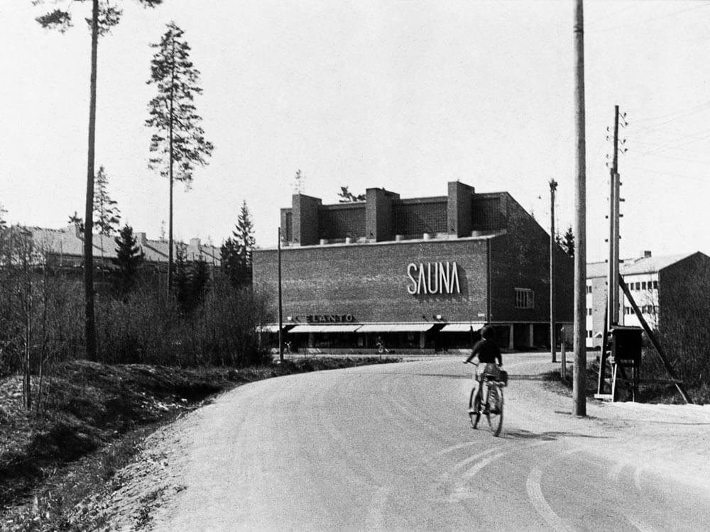
Maunula is sparsely built up, and trees, shrubs and lawns were left for each plot. The general impression is that of a garden suburb. Indeed, Maunula is worthy of protection as a fine example of the garden suburb ideal of the 1950s.
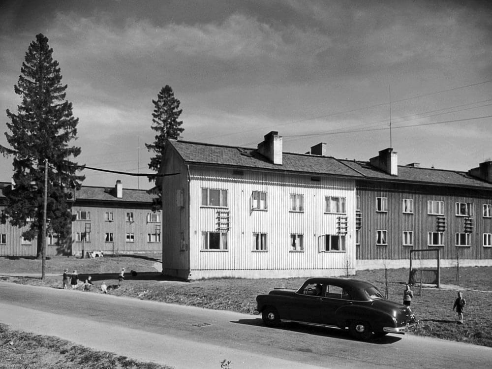
Maunula was developed during Hilding Ekelund’s term as city architect and was partly designed by him along with other architects who designed their “own” parts. Construction began in 1946–1947 with “Wood Maunula” (Puu-Maunula). The buildings were situated along the streets Metsäpurontie and Kuusikkotie and designed as temporary housing in response to the post-war housing crisis. These buildings survived until 1969 when the entire area was renovated and the wooden houses were replaced by brick apartment buildings.
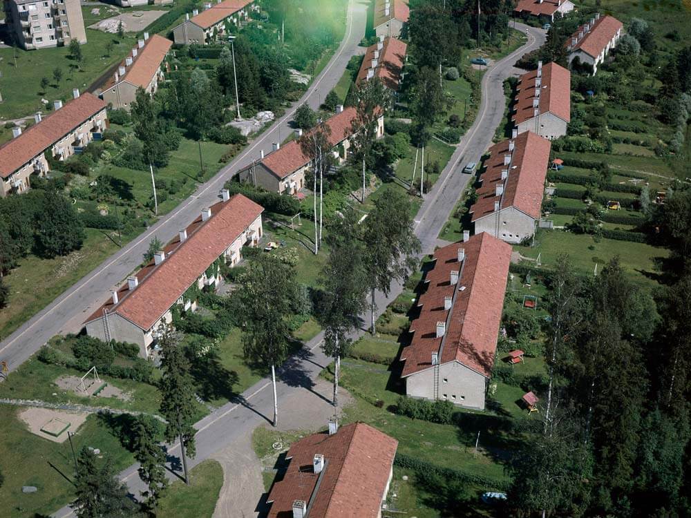
Housing construction continued in Maunula from 1950 to 1970, by which time the district was mostly completed and there were more than 12,000 residents. Construction of houses with loans granted within the framework of Arava system for financing social housing began in 1949. These redbrick apartment buildings were designed by the architects Viljo Revell and Keijo Petäjä and situated between the streets Metsäpurontie, Koivikkotie and Vesakkotie.